


July 8, 2026
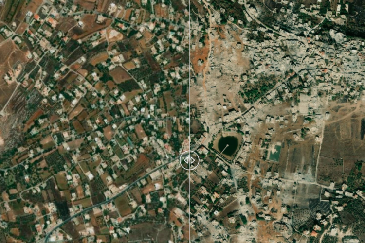
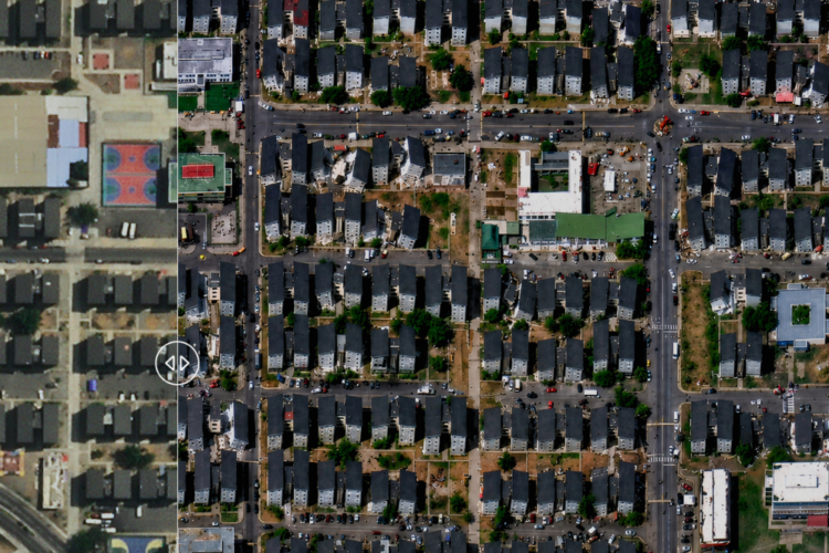
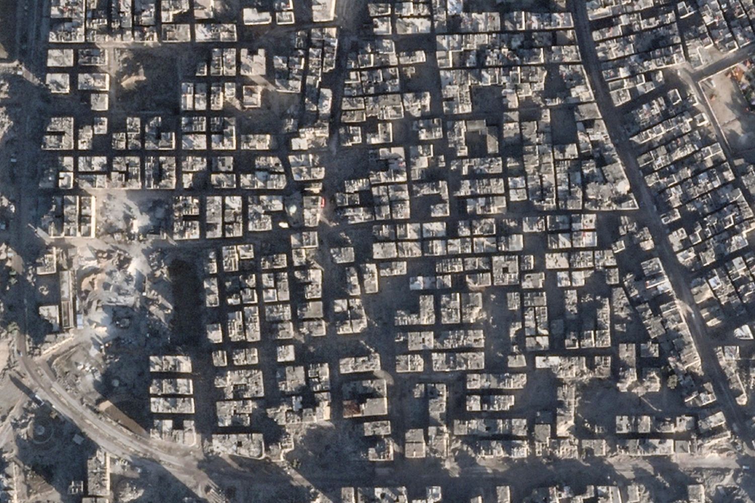
These two satellite images, captured on August 6, 2009 and January 2, 2026, show what remains of the Yarmouk refugee camp, located south of Damascus, Syria.
Although Yarmouk is called a “camp” and covers an area of just 2.1 square kilometers, it was once a thriving city and a diverse economic hub. Before the Syrian civil war, Yarmouk was the capital of the Palestinian diaspora. It is estimated that 20% of its population — more than half a million people — were Palestinian refugees, many of whom had fled the 1948 Nakba, according to the United Nations Relief and Works Agency for Palestine Refugees in the Near East (UNRWA).
Throughout the second half of the 20th century, Yarmouk became an important symbol for many Palestinians.
Looking at these 2009 and 2026 satellite images, you can see how entire neighborhoods were wiped off the map during the Assad regime’s bombing campaign in 2018. Most of the population was forcibly displaced during that period, and those who remained, lived under a siege that blocked food, water, and medicine from entering the camp.
Sonda Internacional visited the city to document what life is like today for families returning to the ruins of Yarmouk following the fall of Bashar al-Assad in December 2024.
You can watch Yarmouk, stripped of everything here.
Credits:
2009: Google Earth Maxar Technology
2026: Planet Labs.