


July 8, 2026
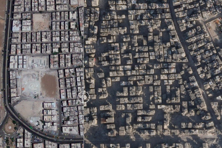
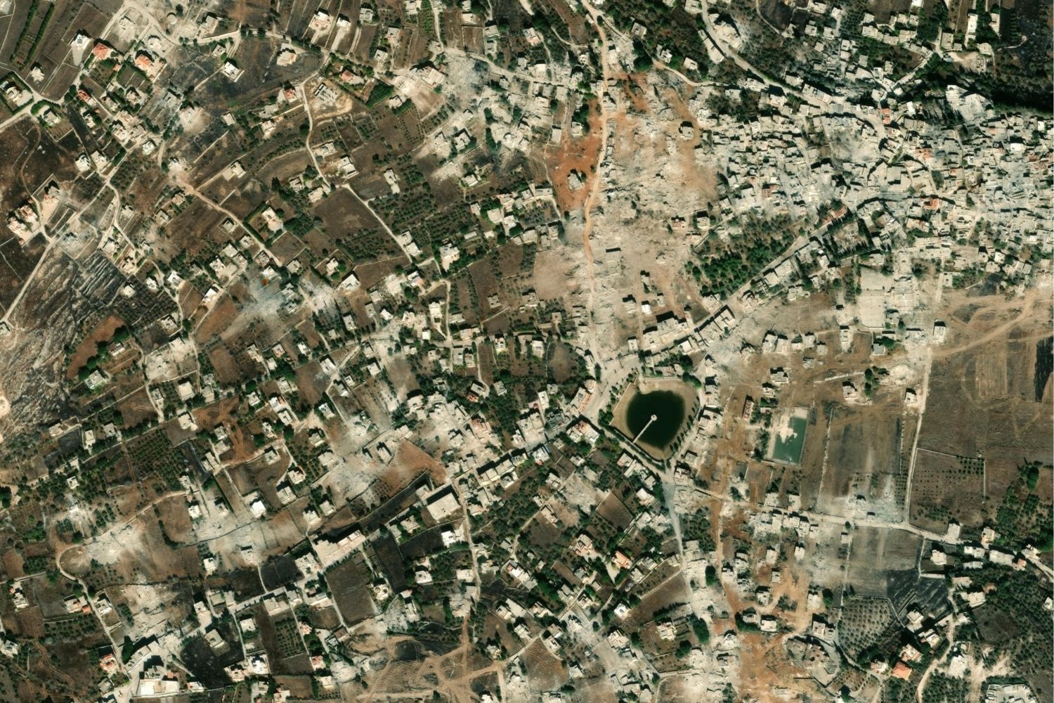
These two satellite images, captured on December 7, 2023 and January 29, 2026, show the town of Meiss al-Jabal in southern Lebanon, before and after the demolition of homes and the destruction of green spaces.
Meiss al-Jabal is located in the Nabatieh Governorate, very close to the Blue Line, the demarcation separating Israel from Lebanon. The town has endured years of fighting between Israel and Hezbollah. These satellite images show how much of the town’s homes and farms have been targeted by the Israel Defense Forces. Today, the houses and farms still standing are surrounded by rubble.
The conflict has not only caused civilian deaths and displaced a large share of the population of this town and other neighboring communities along the Blue Line, but it has also had a serious impact on the environment. Bombing releases toxic particles and greenhouse gases, contaminates water systems, and destroys ecosystems through fires, rubble, and chemical waste.
It is estimated that more than a million people have been displaced across Lebanon following the latest outbreak of fighting in March 2026. Mass evacuation orders were issued with little advance notice across the country, and most families were forced to flee communities in the south.
On June 15, the United States reached a peace agreement with Iran. The deal aims to reduce fighting in Lebanon; however, humanitarian aid agencies warn that the situation is still not safe enough to allow large-scale returns.
CREDITS:
Esri – Esri, DigitalGlobe, GeoEye, i-cubed, USDA FSA, USGS, AEX, Getmapping, Aerogrid, IGN, IGP, swisstopo, and the GIS User Community
MAP: