September 17, 2025
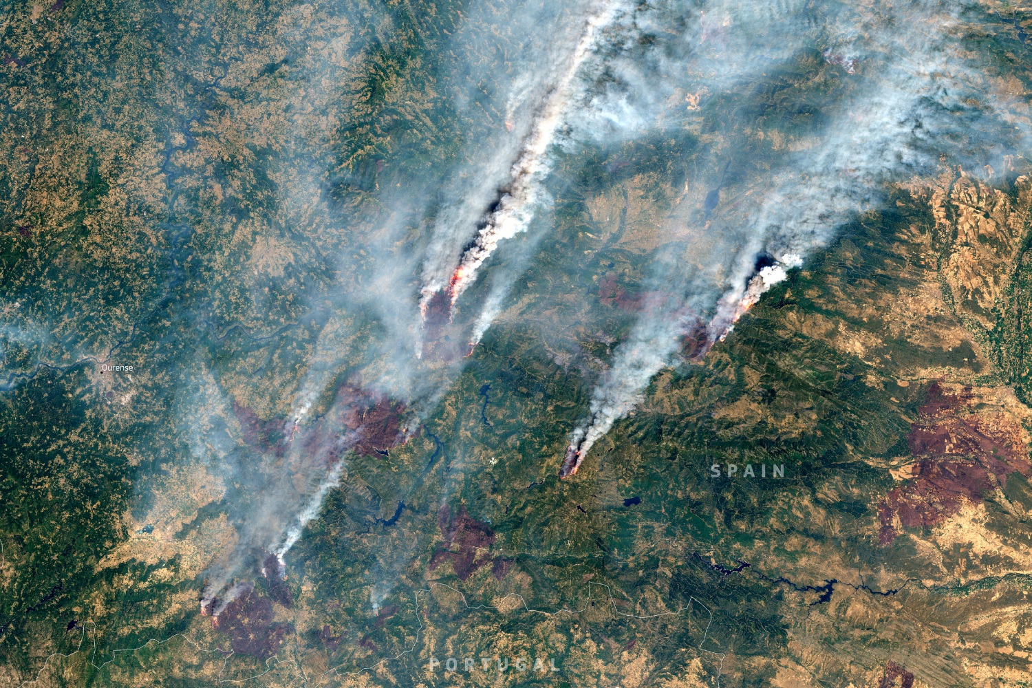
These two satellite images taken on Aug 16 in 2024 and 2025 show the land surrounding the municipality of Ourense, Galicia before and after record wildfires tore through the autonomous community and neighbouring areas in north west Spain.
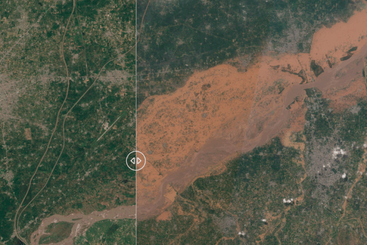
It is estimated 14 major fires across 17 areas in Spain’s north and north west burnt more than 250,000 hectares of land in the second week of August, predominantly affecting the Ourense Province, and A Gudina in Galicia but also Castile y León, Extremadura, Asturias, and Madrid according to Copernicus situation reporting.
Four people died in the fires including three firefighters in Castile y León. Twenty were injured and at least 9000 were evacuated from their homes.
The fires coincided with the most intense heat wave documented by Spain’s meteorological service AEMET since official records began in 1975. The effects of human induced climate change influenced both factors. AEMET data tracking heat in the last 50 years show the country is suffering both longer and more frequent heatwaves. While research by the World Weather Attribution found climate change made the hot, dry and windy fire conditions of this season about 40 times more likely and 30% more intense.
The burnt area, consisting mostly of vegetation and shrubs, contributes to the more than 380,000 hectares that have been burnt in total across Spain this year, up to September 1, according to the Copernicus European Forest Fire Information System (EFFIS).
Due to the amount of smoke generated by these fires, the country has also already surpassed its record for estimated total fire emissions in at least 23 years according to the Copernicus Atmosphere Monitoring Service (CAMS) data.
To understand more about the causes, consequences and solutions to extreme wildfires in Spain and Portugal, visit our ongoing Mega Fires: Beyond Extinction project.
CREDITS:
2024: Copernicus Sentinel data 2024
2025: European Union, Copernicus Sentinel-2 imagery
MAP: